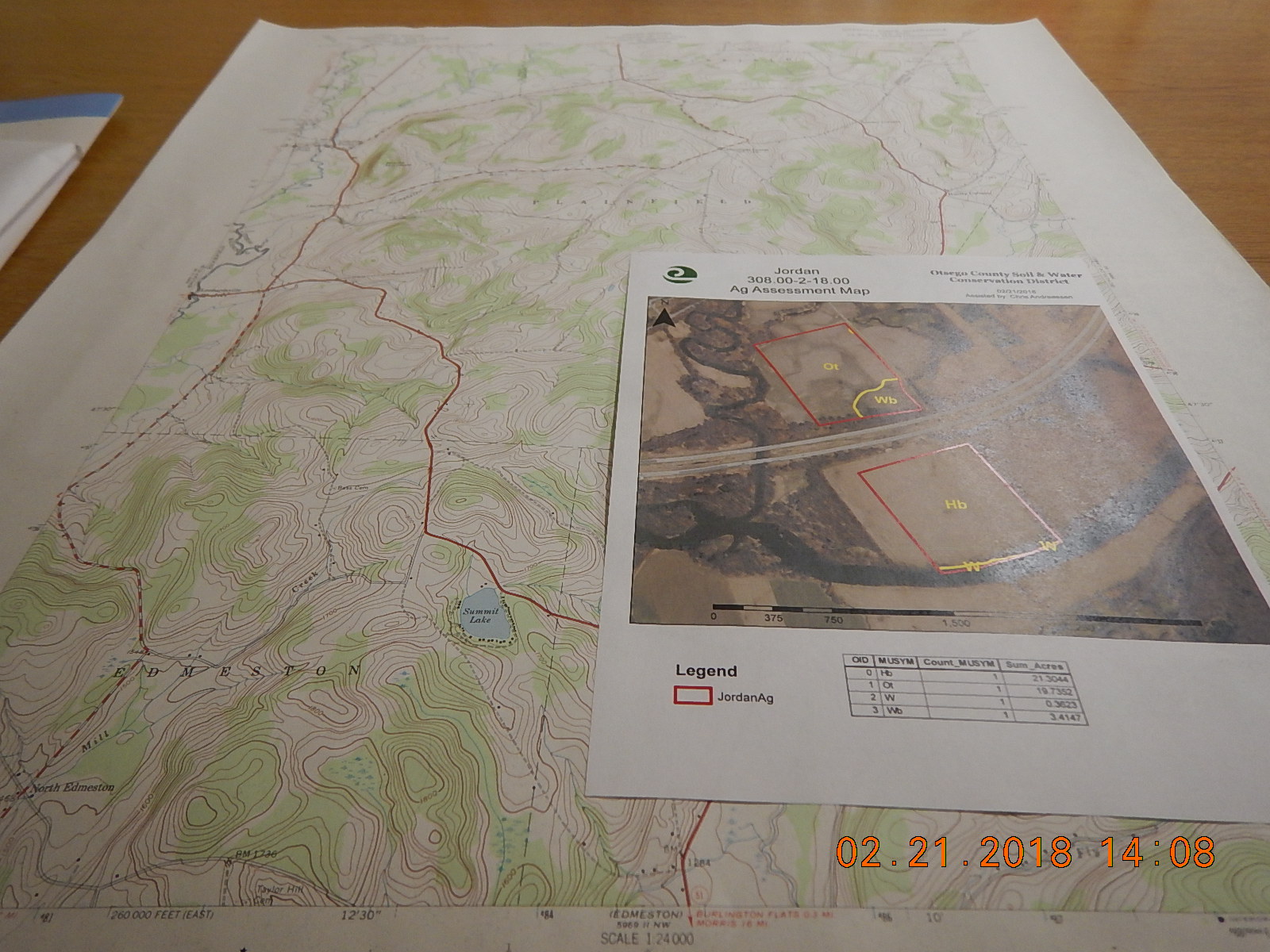
The District can provide Topographical maps, Aerial Imagery, Wetland, and Soils maps of your property. Stop in or give us a call at (607) 567-8337 to schedule this service.
Pricing for map copies are $5 per small map & $10 per large map.
The District has digital georeferenced copies of the 1856, 1868, and 1903 atlas of Otsego County. These are free to download or maps can be purchased in our office to show additional features on top of the historic atlases such as watersheds, modern roads, parcels, and elevation data. Additionally, backups of the 1903 atlas scans are also available on archive.org.
Additionally we have created a GIS dataset of historic 19th century mill dams.